Cartography of York
The Cartography of York is the history of surveying and creation of maps of the city of York. The following is a list of historic maps of York:
- c.1610: John Speed's map[1]
- 1624: Samuel Parsons' map of Dringhouses[2]
- c1682: Captain James Archer's Plan of the Greate, Antient & Famous Citty of York[3]
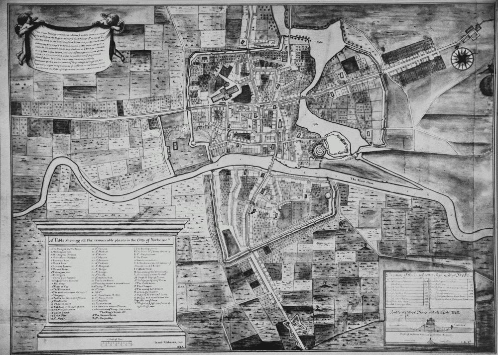
- 1685: Jacob Richards' Survey of the City of York[4]
- 1694: Benedict Horsley's Iconography or Ground Plot of ye City of Yorke[1]
- 1722: John Cossins: A New and Exact Plan of the City of York[1]
- 1748: re-issue of Cossins' New and Exact Plan with five new architectural illustrations across the upper edge of the engraving. These include the new County Hospital and the Assembly Rooms
- 1736: map in Francis Drake's Eboracum
- 1784: William White's plan of York
- various: Tithe maps
- 1822: Alfred Smith's map, published in Edward Baines' History, Directory and Gazetteer of the county of York.[5][6]
- 1832: map by Robert Cooper
- 1852: York Ordnance Survey
- 1858: Nathaniel Whittock’s Birds Eye View
- 1900: Bacon's map of the environs of York
- 1909: Ordnance Survey map
- 1937: Ordnance Survey map
Notes
- Addyman 2015, Sheet X.
- City of York, Vol:3 1972, Plate 4.
- City of York, Vol:2 1972, Plate 60.
- City of York, Vol:2 1972, Plate 61.
- Addyman 2015, Sheet Y.
- City of York, Vol:5 1981, Plate 1.
Bibliography
- Addyman, Peter, ed. (2015). The British Historic Towns Atlas, Volume V, York. Historic Towns Trust. ISBN 978-1-78570-127-6.
- An Inventory of the Historical Monuments in City of York, Volume 2, the Defences. London. 1972. Retrieved 24 July 2018 – via British History Online.
- An Inventory of the Historical Monuments in City of York, Volume 3, South west. London. 1972. Retrieved 24 July 2018 – via British History Online.
- An Inventory of the Historical Monuments in City of York, Volume 5, Central. London. 1981. Retrieved 24 July 2018 – via British History Online.
This article is issued from Wikipedia. The text is licensed under Creative Commons - Attribution - Sharealike. Additional terms may apply for the media files.