 Heybrook Ridge Trail - Index, Wa
Submitted by Space_Common t3_yulkbo in Washington
iamlucky13 t1_iweiarz wrote
Reply to comment by [deleted] in Heybrook Ridge Trail - Index, Wa by Space_Common
I'm thankful it's not worse.
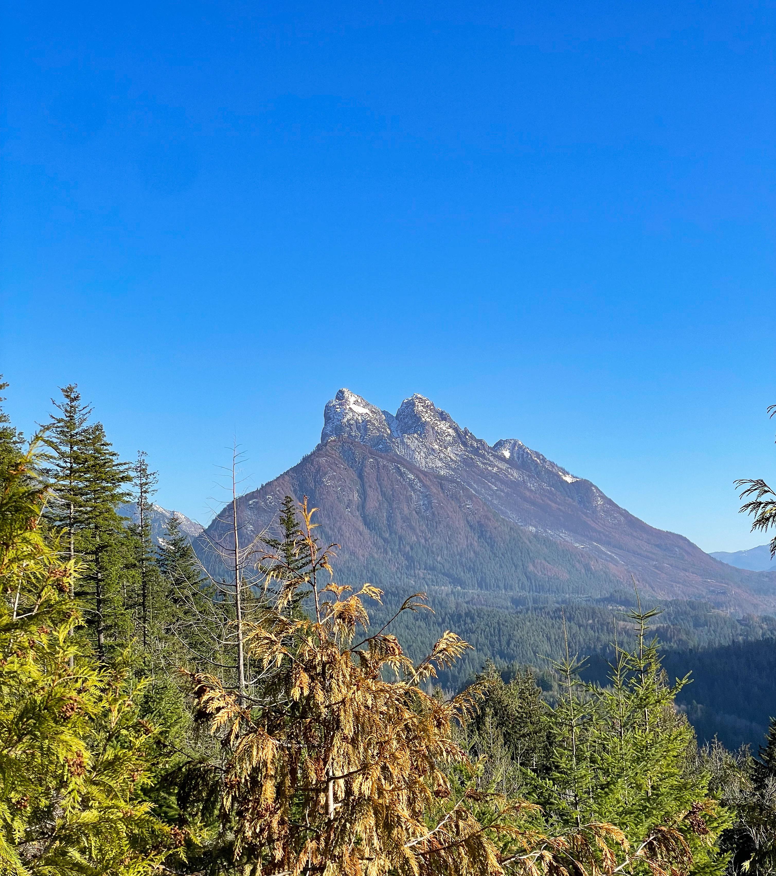
I can see the dead trees on the flanks of Baring Mountain, but fortunately a lot of trees still alive closer to the location this photo was taken from. Most of that is burned area, too, but fortunately the fire mostly stayed at lower intensity after the first two days, so the underbrush burned through there, but a lot of the trees should have survived.
There's a nice map of the burn severity here. I'm hoping to go hike up there soon to get a better sense of what this really means on the ground, but I haven't checked the current status of forest roads in the area:
thewaveishere25 t1_iwkpt5d wrote
At least it was mostly dangerously dry underbrush and not very many trees IIRC. As much as the smoke sucked, this was ultimately healthier for the forest and prevents larger fires in the future that do destroy entire forests, so they mostly focused on keeping it away from people
Viewing a single comment thread. View all comments