Submitted by dendronautical t3_z2rj8s in Washington
Comments
Ishkabibal t1_ixi5red wrote
Is that entirely accurate? I’ve read that it was human-caused but nothing about it being started in the backcountry. I initially read that it was at a campground but haven’t been able to find much info. I’d say a better recommendation would be to pay attention to burn bans and take them seriously. Having a fire in the backcountry is not necessarily worse than anywhere else.
Mistyslate t1_ixi74gr wrote
Having fire in the backcountry: will remove accumulated organic matter (which happens slowly in the alpine areas and hurts them for decades) and not everyone is extinguishing their fires properly.
Ishkabibal t1_ixil5ux wrote
Well, fires aren’t allowed in the alpine already (https://www.fs.usda.gov/detail/okawen/alerts-notices/?cid=fsbdev3_053600#wilderness) so that shouldn’t be happening to begin with. Not extinguishing fires completely is not exclusive to the backcountry. I would argue that people backpacking have a better understanding of LNT principles and are overall better stewards than the general public at campgrounds/dispersed campsites.
Mistyslate t1_ixix39c wrote
I saw people burning fires in the alpine while backpacking.
Ishkabibal t1_ixjh34e wrote
And I’ve seen people not in the backcountry have fires during burn bans. This just solidifies my point of paying attention to burn bans (including ones in wilderness regulations) and not spouting nonsense about arbitrarily telling people where to have fires based on your anecdotes.
Mistyslate t1_ixhuade wrote
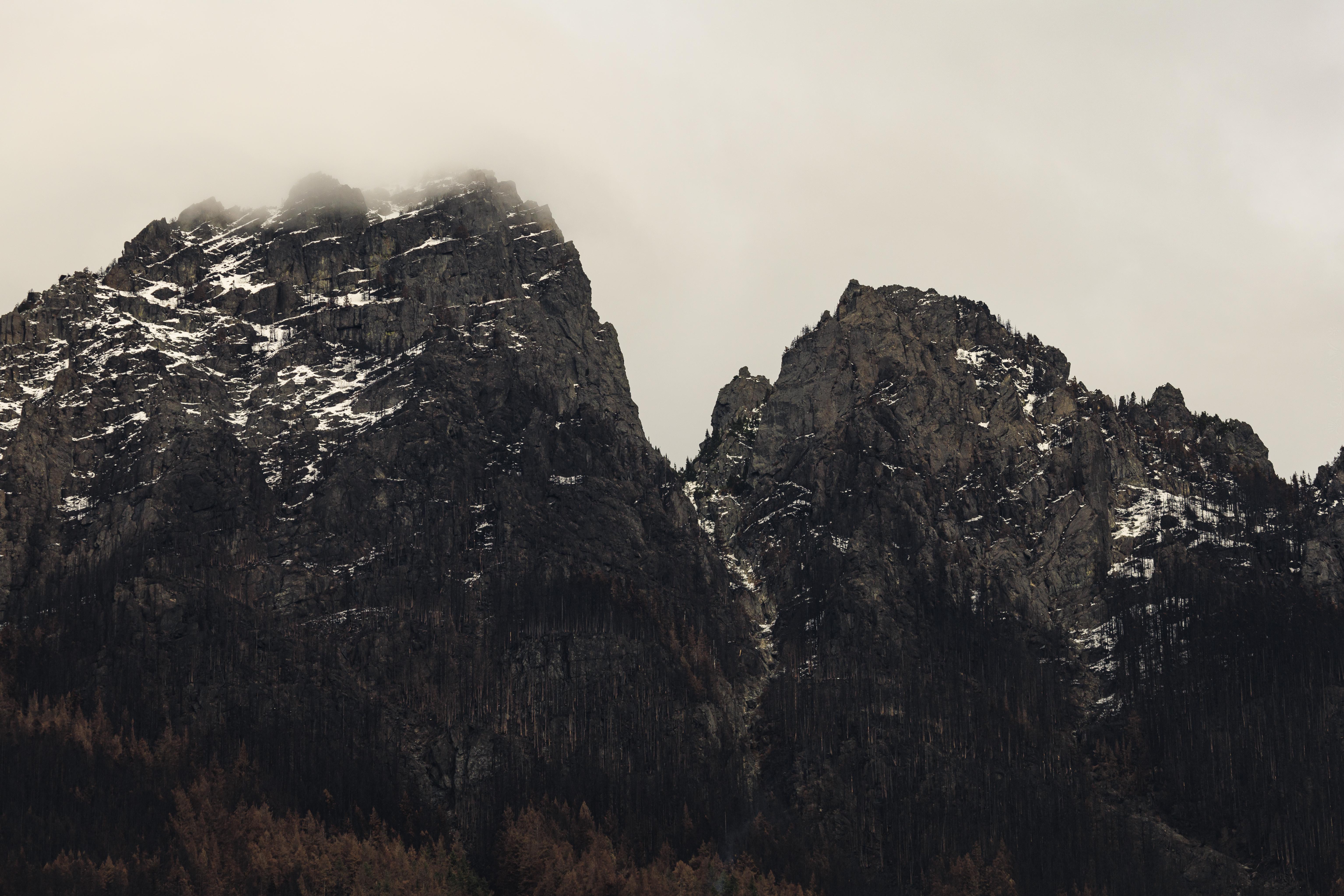
Beautiful and sad picture.
mudbutt4eva t1_ixi82f4 wrote
Do they look dead or just burned?
dendronautical OP t1_ixj0cpk wrote
This looks like it was a high intensity fire in this area, so I would guess a lot of them are probably dead.
iamlucky13 t1_ixjp3w8 wrote
I haven't seen many good overview photos of the area after the fire, but this small set gives some idea how it looks from a broader perspective.
https://twitter.com/KCSOAirsupport/status/1590848792668299265
As far as I know, most of the higher elevation trees in the burn area were killed, but a lot of the lower elevation trees likely survived.
The tallest peak in the middle of the first photo is Baring Mountain. It's a good point of reference on the burn severity map here:

Mistyslate t1_ixhu8pk wrote
Reminder to everyone: no fires in the backcountry. Even if you have done it in the past. Bolt creek fire has started from one of those fires.